Embarcadero South: A Turbulent Port
Neighborhood: Embarcadero
Description
Transformation of San Francisco’s downtown waterfront has been continuous since the time of the Gold Rush. Explore the land that enabled San Francisco’s past. Includes a visit to the former Hills Bros. Coffee Building, Rincon Annex, the 150-year-old sea wall that will soon need to be replaced, and memorials to the Longshoremen Strike of 1934.
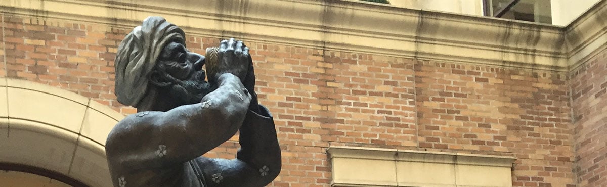
This tour breaks down nicely into pairs. We will visit two classic brick buildings of the 1920s; talk about two radical labor leaders who had totally different fates, one fairly triumphant, one tragic; visit two pieces of public art, one open, one hidden; describe two famous acts of political violence that happened two blocks apart; see two portals that portray the history of San Francisco in stone medallions; and look at the life and work of two SF icons, one artistic, one literary.
Next Tours
Notes
Tour Length: Approximately 2 hours
Formerly called Embarcadero South/Ruth Miller Ramble
Location
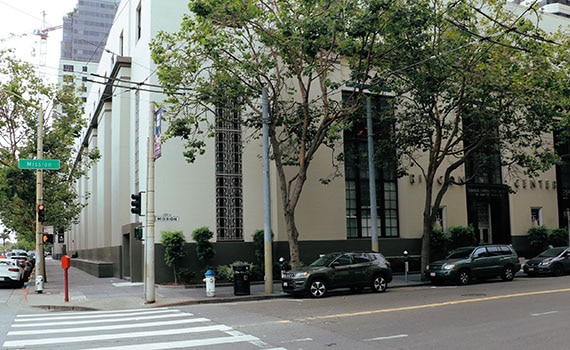
Meet at Mission & Steuart Streets, by Rincon Center. Public transportation: Muni lines 12, 14-Mission, all Market Street lines (to Ferries), and Embarcadero BART/Muni Station.
Please note: Private group tours required for groups of 7 or more.